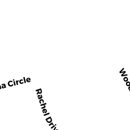
155 RACHEL DRIVE
Owner Information
BARTNIKOWSKI JORDAN G & CHRISTOPHER J JOHNSON
155 RACHEL DRIVE
TAUNTON, MA 02780


Property Details
155 RACHEL DRIVE is classified as a Single Family Residential (Colonial).
The primary structure on this property was built in 1997. There are 3,652ft2 of built area within this property. There is 1,872ft2 of residential/living space within this property. This property is listed as having 6 rooms.
155 RACHEL DRIVE is valued at $362,400. The land is valued at $111,800 and the structures are valued at $249,100. There is an additional valuation of $1,500 on this property.
This property is in Zone 3.24. Confirm with local Zoning Board authorities to ensure there are no overlays or other easements on this property.
The most recent deed for 155 RACHEL DRIVE is recorded at the local registrar in Book 26190, Page 110. 155 RACHEL DRIVE was last sold on Monday, August 17, 2020 for $471,000.
Assessment data from fiscal year 2021.
Flood Data
According to the FEMA National Flood Hazard Layer, this property does not appear to be in a flood zone. It may also be in an area not yet reviewed. Nonetheless, confirm this information prior to taking any action.
To view the flood hazards around this property, create a FEMA "Firmette" Map of the area around 155 RACHEL DRIVE.
Broadband Internet Providers
| Provider | Type | Bandwidth (mbps) | |
|---|---|---|---|
| GCI Communication Corp. | Satellite | 0 | 0 |
| HughesNet | Satellite | 25 | 3 |
| Comcast | Cable | 1000 | 35 |
| Verizon New England Inc. | Fiber | 940 | 880 |
| Verizon New England Inc. | DSL | 5 | 0 |
| Viasat Inc | Satellite | 100 | 3 |
| VSAT Systems, LLC. | Satellite | 2 | 1 |
Broadband service provider data from December 2020.
Adjacent Properties
- 169 RACHEL DRIVE
Single Family Residential owned by OPPENHEIM ALAN & MICHELLE - 145 RACHEL DRIVE
Single Family Residential owned by HAUS GARY & MICHELLE - 78 JACLYN CIRCLE
Single Family Residential owned by CAMPISI JOSEPH S & GISELA S - 46 JACLYN CIRCLE
Single Family Residential owned by CROFT MICHAEL D & JEAN A - 28 JACLYN CIRCLE
Single Family Residential owned by DEEB ANDREW J